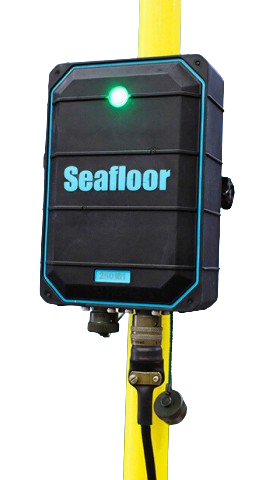
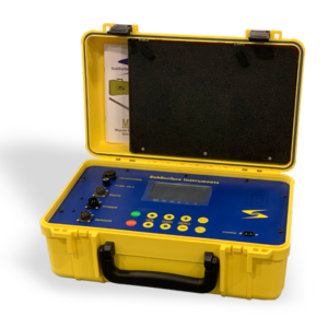
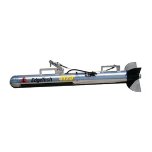
The Seafloor Hydrolite is a compact, portable single-beam hydrographic survey system designed to make bathymetric data collection simple, accurate, and efficient. Combining GNSS positioning, sonar, and survey software into an easy-to-deploy package, the Hydrolite is ideal for inland, coastal, and nearshore survey projects.
Ideal Applications
- Hydrographic survey
- Bathymetric mapping
- Dredging support
- Marina and harbor surveys
- Inland waterway surveys
- Environmental monitoring
- Coastal engineering projects
Includes
- Hydrolite single-beam survey system
- Integrated GNSS positioning
- Survey software
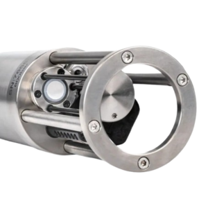
- Sonar transducer
- Communication and power cables
- Transit case
Product Information